
First Color Photo of Earth from Space (Part III):
More Useful Purposes
The story of the first color photographs of the Earth from space continues in Otto Berg’s own words, with light edits and editorial notes.
The next day, I brought the montage (actually, I simply referred to it as a mosaic until Life magazine referred to it as a montage) into the Lab and, again, my colleagues were mostly impressed by the large area of planet Earth shown and the curvature of the horizon.
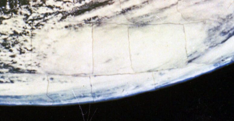
Detail of the NRL-Berg Mosaic detailing the “discovery” of a tropical storm over Texas and the value of space spaced photography for weather observation
The montage occupied a humble spot on the workbench in our labs for several days as we would briefly discuss it over a cup of coffee. Eventually we began to realize that the huge white cloud glob in the picture was somewhat spiral in configuration and showed some resemblance to cyclones and hurricanes. In a bold moment, I telephoned Dr. Harry Wexler, the head of the Weather Bureau, and described the photo to him, telling him I had a photo from a rocket altitude of 100 miles that showed a hurricane over Texas. Dr. Wexler confided in me later that he had “laughed up his sleeve” about my suggestion that we had a photograph of a hurricane, because he felt those rocket maniacs at N.R.L. “have no idea what a hurricane looks like” Further, he had looked at his weather synoptics for that day, and the ground-based observations merely showed a series of low energy clouds, and no indication of a high energy system anywhere in that area He admitted that the synoptics had failed to explain how a low energy system as shown in his records could dump four inches of rain over Brownsville, Texas in just a few hours.
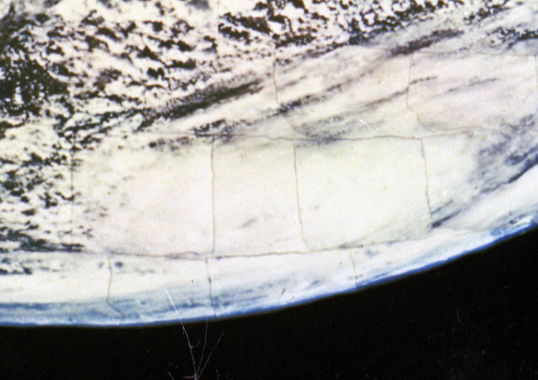
Although highly skeptical, curiosity drove him to visit our Lab to see this “so-called picture of a hurricane!” As Dr. Wexler saw the montage he admitted that he was totally dumbfounded and “almost fell on his face”!
The montage, assembled from photographs taken from above the cloud systems, had revealed for the first time that a high energy cloud system (hurricane) could be totally shrouded from ground-based detection and observations by a low energy cloud system! Dr. Wexler’s enthusiasm and excitement upon seeing the montage before him made them realize for the
Dr. Harry Wexler Credit: ESA
first time that accurate weather forecasting and synoptics necessitated weather observations from the ground AND from space. The photo is credited with the initiation of Rocket-home Meteorological reconnaissance and study of Earth’s storms and the present-day satellite reconnaissance program.
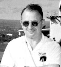
Dr. Harry Wexler: “First Scientist to Fly into a Hurricane & Father of Weather Satellites”
Harry Wexler (March 15, 1911 – August 11, 1962) was an American meteorologist. On September 14, 1944, Wexler became the first scientist to fly into a hurricane. He accompanied a flight of a Douglas A-20 “Havoc” that flew into the hurricane to collect scientific data.
In 1946 he returned to the U.S. Weather Bureau, becoming Chief of the Scientific Services division. As head researcher, Wexler encouraged a study into the atmospheres of planets other than the Earth. He is particularly noted for his work on the use of satellites for meteorological purposes, the development of the TIROS-1—the world’s first weather satellite. Science fiction author and futurist, Arthur C. Clarke, had been following Wexler’s work on hurricanes in the 40s and wrote to Wexler to ask for his thoughts on Clarke’s idea of using an artificial satellite to study weather patterns from space. This, along with the Berg Mosaic, put Wexler on a path that would eventually lead to the launch of TIROS-1 in 1960.
Next Time: Part IV – Life Magazine & Aftermath


